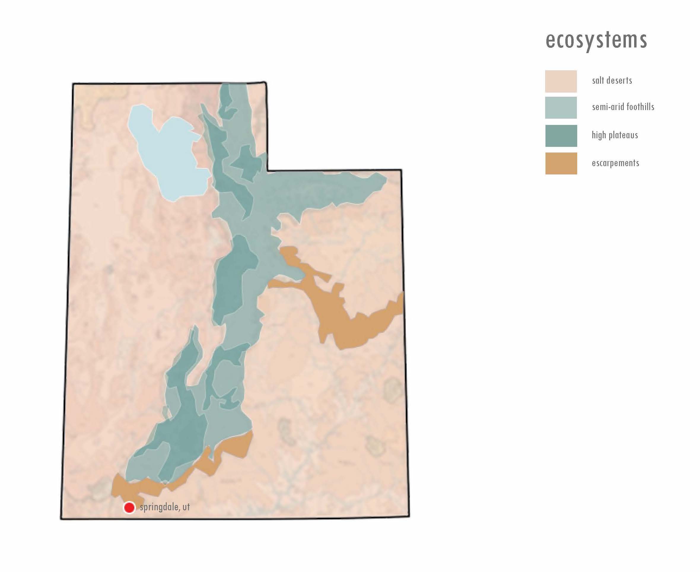
I recently designed a small home in the town of Springdale, Utah. Springdale is located near the edge of the Mohave Basin and Range yet technically sits within the western most tip of the Colorado Plateau. The town is situated along Highway 9 and ends at the west gate of Zion National Park. With a population of less than 600 residents, Springdale hosts over 5 million park visitors each year. The highway runs alongside the north fork of the Virgin River, which runs through the gorge between The Watchman peak to the south and the West Temple summit to the north. Watchman to the south rises an additional 2,600 feet to 6,545 feet of total elevation and the West Temple peak to the north reaches a total elevation of 7,810 feet. The valley creates a unique micro-climate, which sits approximately 3,950 feet above sea level. The area is considered a desert zone filled with semi-desert grassland and shrubland.
Located less than a mile from the park entrance, the project site sits in the shadow of Watchman peak. The site backs up to and includes a portion of the Virgin River. Across the river — the southern bank — Watchman ascends dramatically forming various sandstone cliff-bench complexes which support Pinyon-juniper woodlands. This diverse, rugged and remote ecosystem supports a variety of plants and provides a robust habitat for wildlife. Like many beautiful, picturesque landscapes the area poses several threats to development, the most prominent being flooding and erosion. One can never design a structure to withstand all the risks and potential damage. However, due to unpredictable changes in the climate, it is inadequate to simply rely on commonly accepted build standards and practices. We must cultivate a better understanding of the areas where we intend to build and develop better strategies to mitigate potential risks.
